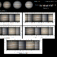
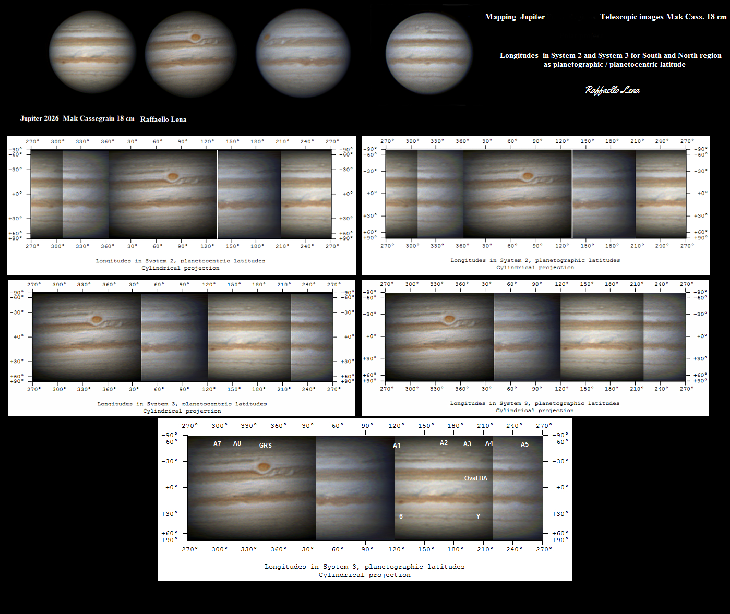
Jupiter and maps
Taken by Raffaello Lena on March 16, 2026 @
Rome Italy
Click photo for larger image

| |
Camera Used: Unavailable Unavailable
Exposure Time: Unavailable
Aperture: Unavailable
ISO: Unavailable
Date Taken: Unavailable
|
|
| More images
Details:
Win Jupos was used measuring the images i made with the corresponding Central Meridian and the longitudes. Hence a map was generated showing the South and North region. Note the data based on longidutes derived for system 2 and system 3 of the planet. Maps as planetographic and planetocentric latitudes. All images made using a Mak Cassegrain 18 cm.
Photographer's website:
No URL provided.
|
|
|