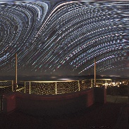
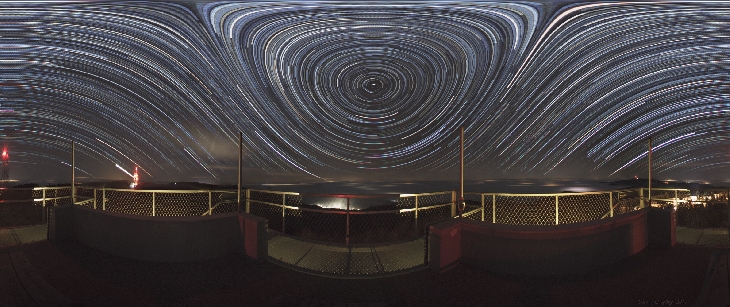
At the Top of the Country
Taken by György Soponyai on December 20, 2016 @
Galyatető, Hungary
Click photo for larger image

| |
Camera Used: Unavailable Unavailable
Exposure Time: Unavailable
Aperture: Unavailable
ISO: Unavailable
Date Taken: 2016:12:23 12:49:29
|
|
| More images
Details:
Hungary is located in Carpathian Basin surrounded by the Alps and the Carpathian Mountains. As a result of this geographical position, the country (and mainly the amateur astronomers living here) "suffer" every Fall and Winter from dense fog that stales for weeks blocking all lights from the skies.
On the night of 20th December 2016 only the topmost area of the Mátra mountain was high-enough to break the top of the fog layer so I decided to travel here for taking this photograph. It is a composite of 130 two-minute-long startrail pieces taken atop of lookout tower on Galya (a peak of Mátra). Here the elevation is 985 meters (955 + 30 of the tower) that is slightly lower than the height of Kékes (1014m), the highest mountain of Hungary. The Kékes is visible at the rightmost pole on this photo.
The geodetic tower of Galyatető was built in 1934 but at the beginning of the age of GPS these kind of towers became obsolete and uneless. The old building was renovated in 2015 and today it is the highest lookout tower of the country.
Photo details:
2016.12.20. Galyatető, Hungary
Canon EOS 5D Mark II + Sigma EF 8/4.0
134 x 120sec (4 foreground + 130 startrails), F 4.5, ISO 1600
Photographer's website:
http://www.flickr.com/vanamonde81
|
|
|